What is El Niño?
El Niño is a warming of the Pacific Ocean near the equator caused by a weakening of the trade winds that normally push sun-warmed waters to the west. When ocean temperatures are warmer or cooler than normal, they can affect weather around the world. In the United States, El Niño often changes typical weather patterns and could bring drier conditions to some areas and intense rainfall amounts to others.
When are the heavy rains expected?
In Los Angeles, the normal wet season happens between October and February. The peak of our wet weather for this El Niño is expected to occur between December 2015 and February 2016. After four years of drought and wildfires, much of the land across Los Angeles is incapable of absorbing large amounts of rain, increasing the potential for flooding and mudslides.
What are the effects of a strong El Niño winter?
El Niño is expected to bring heavy rainfall this winter, especially to the southern tier of the United States. The intensity and duration of rainfall in the coming months could lead to devastating floods, mudslides and debris flows, especially in areas affected by prolonged drought or areas scarred by past wildfires.
How can you get ready for El Niño?
- Know your flood risk. Flooding is the costliest and deadliest disaster in the US. Most homeowners and renters insurance policies do not cover flooding. Decide if flood insurance is right for you.
- Pay attention to the weather and to any advisories or warnings related to winter storms.
- Get free emergency alerts sent to you via text, voicemail, or email by registering at NotifyLA.org, the City of Los Angeles official emergency alert system.
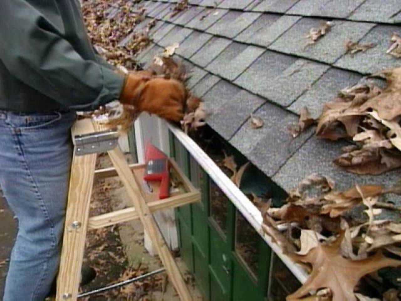
- Keep streets and gutters clear before and during storms. One plastic trash bag can block a storm drain and flood an entire street.
- Get a kit and make a plan. An emergency kit stocked with food, water, flashlights, and extra medications and batteries will help you weather the storm.
- Fix poorly draining or leaky roof tops.
- Check your windshield wipers and brakes, replace if necessary.
- Never try to drive through a flooded roadway. Just 6 inches of moving water can knock you off your feet or disable your vehicle.
We encourage all Angelenos to register with NotifyLA, the City’s mass notification system to find extensive information about storm and emergency preparedness. Once an individual registers, they will receive information via voice, text, or email message alerts only if their geographic area is impacted by an emergency. To register, go to www.ElNinoLA.com.


